
Miami waterfront
Aerial ground textures, custom landmarks and night lighting cover the city, port and coast.
Miami, Florida, USA Map
Microsoft Flight Simulator 2004
Follow Miami’s Atlantic coast past the downtown skyline, with three period airports and a seaplane base to explore.
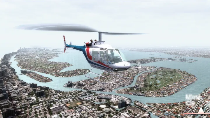
Aerial ground textures, custom landmarks and night lighting cover the city, port and coast.
Lightweight sceneries depict Miami International, Kendall–Tamiami Executive and Opa-locka. Each can be disabled separately in the scenery library.
Ten helicopter starting locations, a seaplane base and a former airfield add destinations beyond the main airports.


Download the original FS2004 installer from Drzewiecki Design.
Designed for Microsoft Flight Simulator 2004 (FS9). Works with Ultimate Terrain USA. To use LatinVFR’s Miami International, disable the included simplified KMIA in the Scenery Library.
Run the supplied installer. It adds the city and included airport scenery to the FS2004 Scenery Library.
Customer support has ended for this edition. No further updates will be released.
Miami’s airfields lie on the Atlantic side of South Florida, between the Everglades and Biscayne Bay. A chain of barrier islands separates the bay from the ocean. Downtown faces the bay, while the port, causeways and marinas occupy islands and narrow strips of shoreline. The three land airports in this 2012 edition lie inland at different points around the city.
Miami International grew from Pan American Field, which opened in 1928. Pan American also used flying boats at Dinner Key on Biscayne Bay, a reminder that some of Miami’s earliest international passengers departed from the water. As landplanes took over the longer routes, Miami International developed into a major passenger and cargo gateway to the Caribbean and Latin America.
Kendall–Tamiami Executive serves the southwestern part of the metropolitan area. Opa-locka, to the north, grew out of aviation pioneer Glenn Curtiss’s activities in the 1920s. Both airports handle business and general aviation. Their smaller hangars and aprons, together with the waterfront and seaplane sites, give this edition a view of Miami beyond its main airline terminal.
Included airfields · KMIA, KTMB, KOPF


